Yesterday I recounted how an encounter with an oiled, unpaved road
led to the sudden end of my hike into the forest
near Chickahominy Riverfront Park.
Yet, all was not lost, as I remembered
there was one more place I had wanted to walk:
along the bluff and down to the boat ramp on the opposite side of the park.
So I returned to the Park.
Once I got to the bluff, the first thing I saw
was this "you are here" map,
which showed the Virginia rivers and peninsulas
that reach into the Chesapeake Bay:

I always enjoy these maps because I like to understand "the big picture."
And this map really shows that the big picture contains a lot of water.
If there is one thing we have here in southeastern Virginia, it is water.
And it is beautiful life-giving water, full of fish, and crabs and oysters
that attract lots of waterfowl and gulls and songbirds, too.
So when I walked down to the boat ramp,
the first view I enjoyed was this wide expanse of water
flowing from the Chickahominy.
The rivers in this part of Virginia meander,
and from those curving main channels,
smaller branches flow, leaving creeks like this:

Here's some more of that October blue and gold I've written about before:

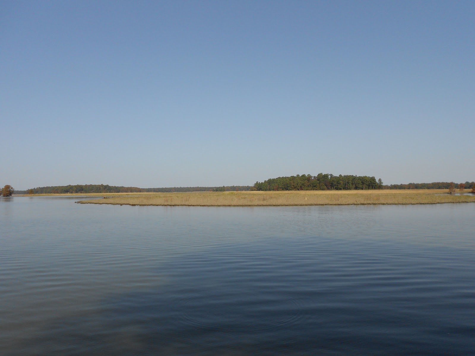
This scene caught my eye because it shows the beauty of the marsh
and tree line reflected in the clear water:

But there was something else in the scene that I noticed.
Something quite surprising, and I would say, even a little magical.
Join me tomorrow and I'll reveal what I saw there along the shore,
and why it may just be a sign of good fortune.
<>
No comments:
Post a Comment